INDEX / NEXT
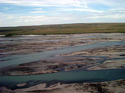
This is the Canning River from the air. The Canning, which flows North, represents the boundary between state land
and the Arctic National Wildlife Refuge. On state land, the far bank in this picture, oil drilling is allowed.
Click to see maps of oil development in Arctic Alaska. In these maps you will see the Canning River all the way to
the right marking the border between state land and the Refuge.